Leeds Maps and Orientation
(Leeds, West Yorkshire, England, UK)
Officially situated within the county of North Yorkshire, the city of Leeds is huge and with a population now exceeding 750,000 people, is currently England's third-largest city, after only
London and
Birmingham. Leeds is an especially old city and was established during the 5th century, with its historical core forming the very heart of the cityscape.
The city itself is spread out alongside the northern banks of both the River Aire and also the Leeds to Liverpool canal. Buses and trains are easy to find and centrally located, although for the cheapest accommodation, you will likely need to catch as bus.
Maps and Orientation of the City
Very much a city of education, the University of Leeds is close to the city centre and can be found just a short distance to the north-west, near to the Leeds Metropolitan University. City maps are available at the Gateway Yorkshire TIC, at the Arcade within the City Station.
Map of the United Kingdom

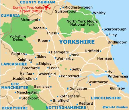
Map of Yorkshire
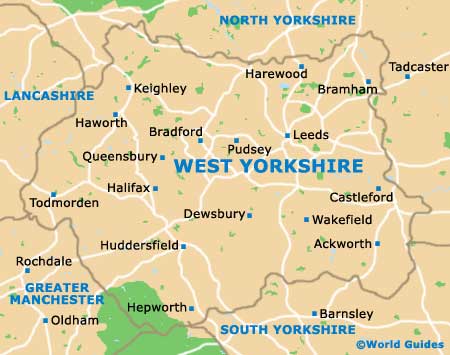
Map of West Yorkshire
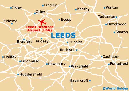
Map of Leeds